

Key facts
- Apple began blurring satellite imagery at select U.S. military and space installations in Apple Maps in late October 2026 without any public announcement.
- The blur hides fighters on tarmacs, aircraft on flight lines, and rockets on launch pads at affected sites.
- Blurred sites include Wallops Flight Facility in Virginia and Stennis Space Center in Mississippi.
- Blurred sites also include Cape Canaveral Space Force Station in Florida and Vandenberg Space Force Base in California.
Starting in late October 2026, Apple blurred satellite imagery over certain U.S. military bases and space facilities shown in Apple Maps, making no public announcement.
Fighters on tarmacs, aircraft on flight lines, and rockets on launch pads can no longer be seen at the affected sites. Blurred locations include Wallops Flight Facility in Virginia, Stennis Space Center in Mississippi, Cape Canaveral Space Force Station in Florida, Vandenberg Space Force Base in California, Whiteman Air Force Base in Missouri, Ellsworth Air Force Base in South Dakota, Patrick Space Force Base in Florida, Groom Lake, also known as Area 51, in Nevada, Los Alamos National Laboratory in New Mexico, and Fort Sill.
Space Explored first noticed the change after comparing dozens of installations on Oct. 30, 2026. It describes Wallops as a civil research-focused airfield owned by NASA. Its airfield is blurred, while NASA-owned launch pads remain visible. The change is selective rather than complete: many large Navy and Air Force installations remain visible.
Many installations remain visible on Apple Maps. Kennedy Space Center and its historic launch pads LC-39A and LC-39B remain visible on Apple Maps, and those pads serve NASA’s Moon program, setting them apart from the blurred Space Force stations. Also visible are Pearl Harbor, Naval Station Norfolk, and Naval Station Great Lakes, along with two Air National Guard bases in Wisconsin that were checked. In Texas, Dyess Air Force Base remains visible, as does Barksdale Air Force Base in Louisiana.
Whiteman Air Force Base is home to most of the B-2 stealth bombers that can carry nuclear weapons. Ellsworth Air Force Base in South Dakota hosts the nuclear-capable B-1B bomber and is one of two U.S. locations for it. Among U.S. bombers, the B-1B carries the most payload.
The 74-year-old B-52 fleet is mostly housed at Barksdale Air Force Base, which remains visible, while Dyess Air Force Base, the second B-1B base, also remains visible. Cape Canaveral Space Force Station and Vandenberg Space Force Base contain most of the military’s launch pads along with advanced secretive satellites. They also stage many commercial missions, such as Falcon 9 flights followed by space enthusiasts from home, and ShiftDelete notes these Space Force installations are venues for civilian space launches as well as military sites, so the blur reaches launch watchers following commercial flights as well as defense activity.
Also blurred is Patrick Space Force Base in Florida, which serves as the parent base for Cape Canaveral Space Force Station. ShiftDelete says launch watchers can no longer use Apple Maps to check pad activity at Cape Canaveral or Vandenberg.
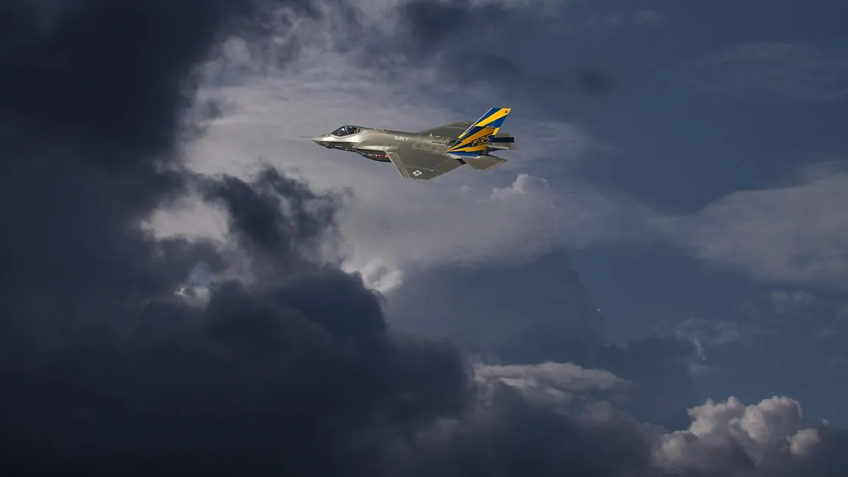
Softonic says Apple has not explained why it blurred the imagery, how it picked the locations, or whether the government requested the change. Apple has not said how it chooses locations to blur or given a timeline, and it has not said whether it will blur more locations. Whether the blur covers only highly sensitive facilities or all government sites is also unclear.
ShiftDelete says SpaceX’s Texas site, which is preparing for Starship Flight 15, is not on the reported blur list. Google Maps still displays those military locations in full detail without blurring them. The security effect stays limited because Google Maps and other commercial imagery providers still show the same ground, and the change mainly decides which app a curious person opens. Google continues to add features to its mapping service, such as the McLaren F1 navigation avatar.
Softonic says privacy watchers and open-source intelligence researchers are among the critics who argue that blurring on a single platform does little because commercial imagery and state reconnaissance remain available. It says comparable restrictions have turned up in Canada, Australia, and at alleged detention centers in China. It says most observers consider national security the most likely reason, though this remains unconfirmed. It says the blurring may produce a Streisand effect, in which trying to suppress information draws more attention to it.
Softonic says observers tie the affected locations to stealth bombers, launches, classified aircraft tests and advanced satellite programs. Outer Space Today calls the blurring a security measure that blocks public views of sensitive national sites via a commercial phone app, though Apple has not described it that way itself. Softonic says navigation on iPhone, iPad, and Mac still works normally, but contractors and logistics teams may hit limits.
Join the discussion